Ohio - Exciting and Diverse - Section 1 - In the Beginning
Ohio Waterways
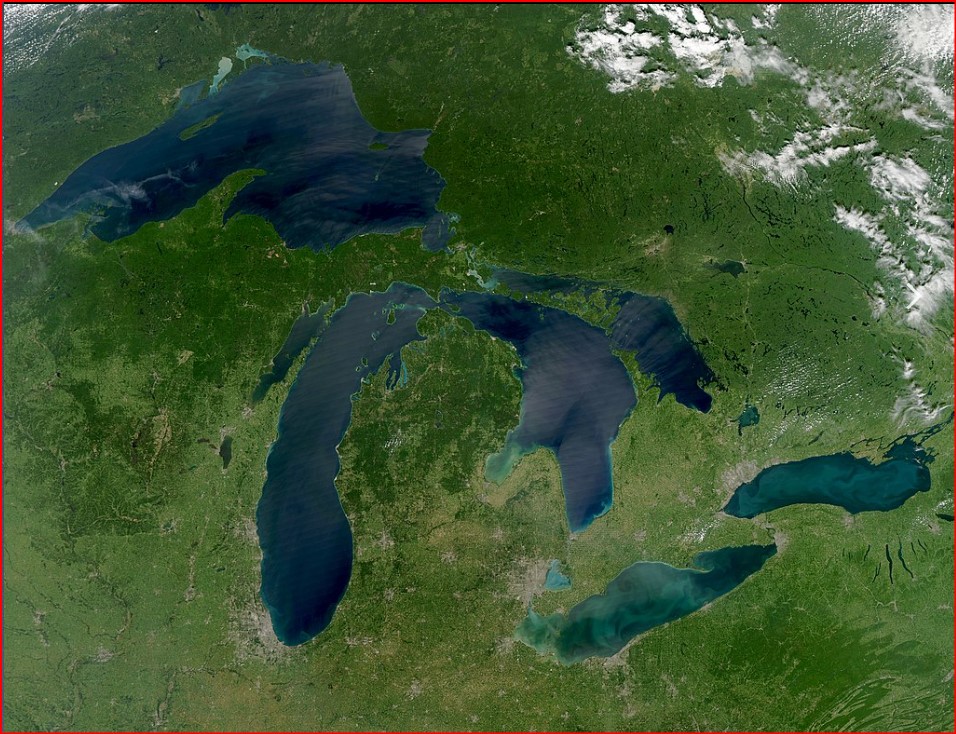
Not only is Ohio wetland because of swamps and marshes, it is also a network of lakes and rivers. To the north is Lake Erie one of North America’s five Great Lakes (Huron, Superior, Michigan, Erie and Ontario) which hold 21% of the world’s fresh water. Ohio’s southern boundary is of the United States major river, the Ohio River.
The combination of Lake Erie and the rivers, especially the Ohio River made settlement possible. Travel from the East could arrive by boat on the Erie, or via connecting rivers to the Ohio River. and of course overland.
Ohio’s major rivers are: The Ohio, Cuyahoga, Maumee, Muskingum, Scioto, Olentangy, Great Miami, Little Miami, Hocking, Sandusky, and Chagrin rivers. The Cuyahoga, Maumee, Sandusky and Chagrin are tributaries of Lake Erie. The Olentangy flows into the Scioto, which along with the Great and Little Miami Rivers and the Hocking River flow into the Ohio River.
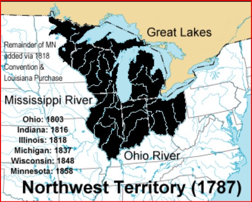
Northwest Territory
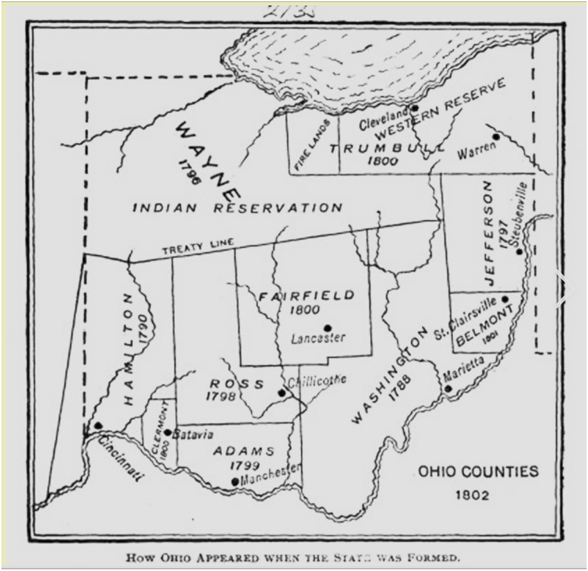
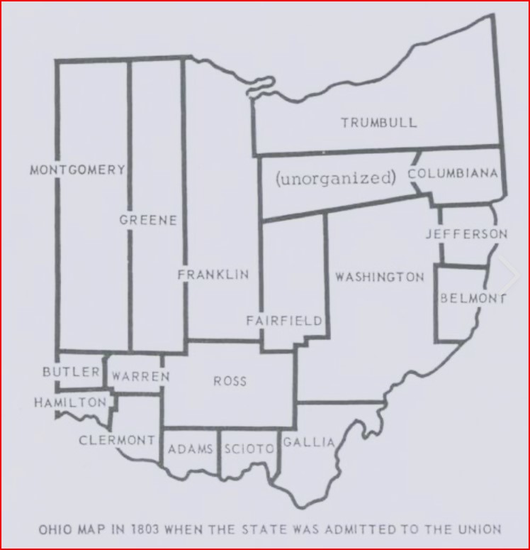
The Northwest Territory was governed by martial law under a governor and three judges. The Northwest Ordinance allowed for a county to be formed when a region could muster 5,000 eligible voters (white men). The Northwest Territory eventually had thirteen counties. At its creation, Ohio had parts or all of the Northwest Territory Counties of Jefferson, Washington, Adams, Hamilton, and Wayne. The 5,000 rule no longer applied and Ohio immediately reorganized in 1803 as Trumbull, Columbia, Jefferson, Belmont, Washington, Fairfield, Ross, Scioto, Adams, Clermont, Butler, Warren, Hamilton, Franklin, Green, and Montgomery. In addition the Indian Reservation north of the Greenville Treaty Line, Western Reserve including the Firelands and the central region known as the Virginia Military Lands were part of the state of Ohio. The Indian Reservation included the northern portions of Montgomery, Greene and Franklin counties.
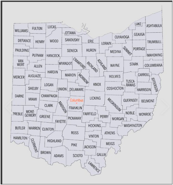
As a state grows, more counties are added. Why?
One of the main reasons to create a new state is distance to the center of authority – the county seat. That is where the courts are located. The courthouse provides many services. It may house the sheriff, veteran’s services, recorder’s office for Title/deed registration, treasurer’s office for property and other taxes, health department, zoning department, emergency management. It may supervise the street department, the fire department, museums, libraries and hospitals in the county.
Consider the distance. When Ohio created its 88 counties, transportation was on horseback. Ohio’s very large counties made it almost impossible to reach the courthouse in bad weather. It was impossible to travel over 100 miles to the nearest government office in the 1800’s. If you lived in the Great Black Swamp your travel to the courthouse was not in hours, it was in days!
Creating counties creates jobs such as commissioners, judges, lawyers, sheriff and deputies, and clerks. Any county-level government job either hired or elected needs to be filled.
Has the population grown to the point that public services (police, sanitation, etc.) can’t handle the load?
What if there are geographic reasons? Perhaps a river splitting the county that can’t be easily navigated or maybe a mountain or ridge has to be crossed.
Is it easy to create a county? Not really. The state legislature and the governor are involved. There may political considerations. Will forming a new county cause political problems? What if the splitting causes the new county to be 95% of one party, causing a major imbalance? What about property tax rates? Will they transfer to the new county? What if a bond levy has been passed? Budgetary costs can be prohibitive.
How Did Ohio Settlers Obtain Land?
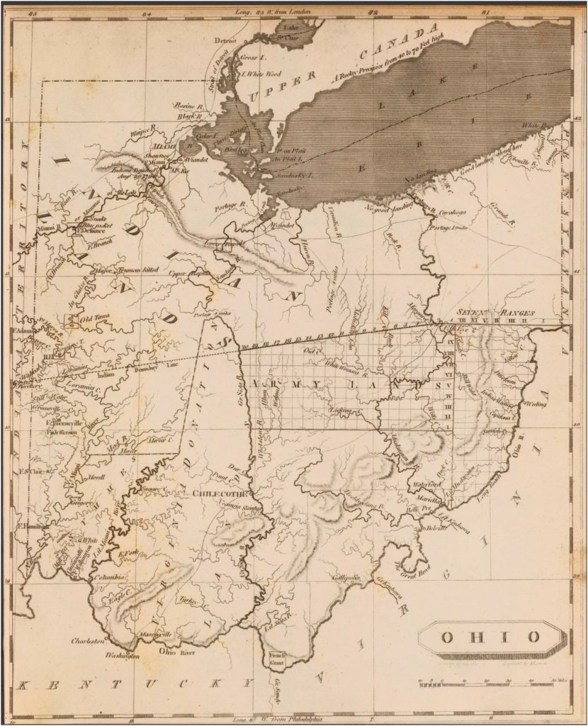
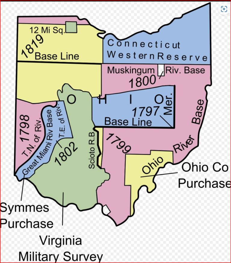
The land we now know as Ohio was once claimed by both France and England. A land speculation company was formed to sell land in the area. This company was known as the Ohio Company. The formal name was the Ohio Company of Virginia and was given a land grant of 500,000 acres by King George of England to both sell land and trade with American Indians in 1748. This was an attempt by Britain to block French expansion. The investors were some of the prominent men in U.S. history including George Washington. The grant was rent and tax free for ten years, but the grant required the owners to built a fort and provide a garrison for protection. The company made a treaty with Native American Tribes in 1752 for friendship and permission to sell land. However, since France also claimed the land, war broke out, the French and Indian War between 1754 and 1763.
Other grants were given to rival groups such as the Indiana Company. The Ohio and Indiana companies merged into the Grand Ohio Company. The American Revolution halted progress and the company closed in 1776.
Land certificates were given by Congress to American Revolution veterans who formed the Ohio Company of Associates in 1786. The grant from the U.S. government was for 1,500,000 acreas around Marietta, Ohio and settlers from New England purchased the land.
Charles II had gave a land grant to the Connecticut colony known as the Connecticut Western Reserve in what is now the northeastern region of Ohio. Even though Connecticut surrended its claims following the American Revolution, a group of speculators called the Connecticut Land Company sold land to new settlers. The western end of the Reserve was established in 1792 as the Firelands or Sufferer’s Lands to offer financial restitution for towns burned by the British in the Revolutionary War.
The Virginia Miltiary District or Virginia Military Lands was 4.2 million acres in Ohio reserved by Virginia to use as payment in lieu of cash for Virginia veterans of the Revolutionary War.
A company within the Ohio Company lands was the Scioto Company formed in 1787 after the Northwest Territory was organized. It swindled prospective settlers by selling worthless deeds. It was organized in Paris, France and the worthless deeds were sold to French people who were refugees from the French Revolution. The Scioto Company did not own the land it was selling. They were supposedly agents of the Ohio Company. After the collapse of the Scioto Company in 1790, the U.S. Attorney General decided that the Ohio Company was the legal owner who then sold the and at $1.25 per acre to those who had settled.
This group of French settlers called the French 500 travelled on the Ohio River landing in Marietta in 1791 and most went on to Gallipolis which is now in Gallia County. The words Gallia and Gallipolis are derivatives of the word Gaul, signifying France. When they arrived in Gallipolis, the Scioto Company had promised that cabins were built, but when they arrived, the land was bare. A group of men from Marietta came and helped them build cabins in the area which is now the city park, and a defensive palisade and bastions. Gallipolis then became an important stop on the Underground Railroad in the Civil War era. A cemetery in Gallipolis called the Pine Tree Colored Cemetery is a burial ground for escaped slaves. Gallipolis also houses the John Gee Black Historical Center, a cultural and educational center to preserve the traditions, culture, crafts, music and art of African Americans in Southeastern Ohio, and their contributions to the United States.
Appalachia
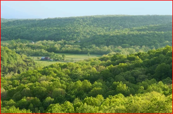
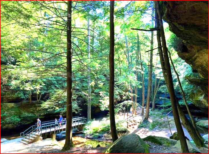
The southern part of Ohio is hilly and lies in the Appalachian Plateau. This region of Ohio and the surrounding mountainous regions from the Catskills of New York, most of Pennsylvania, the Blue Ridge Mountains, and the Great Smoky Mountains of West Virginia and northern Georgia, Alabama, and Mississippi are called Appalachia.
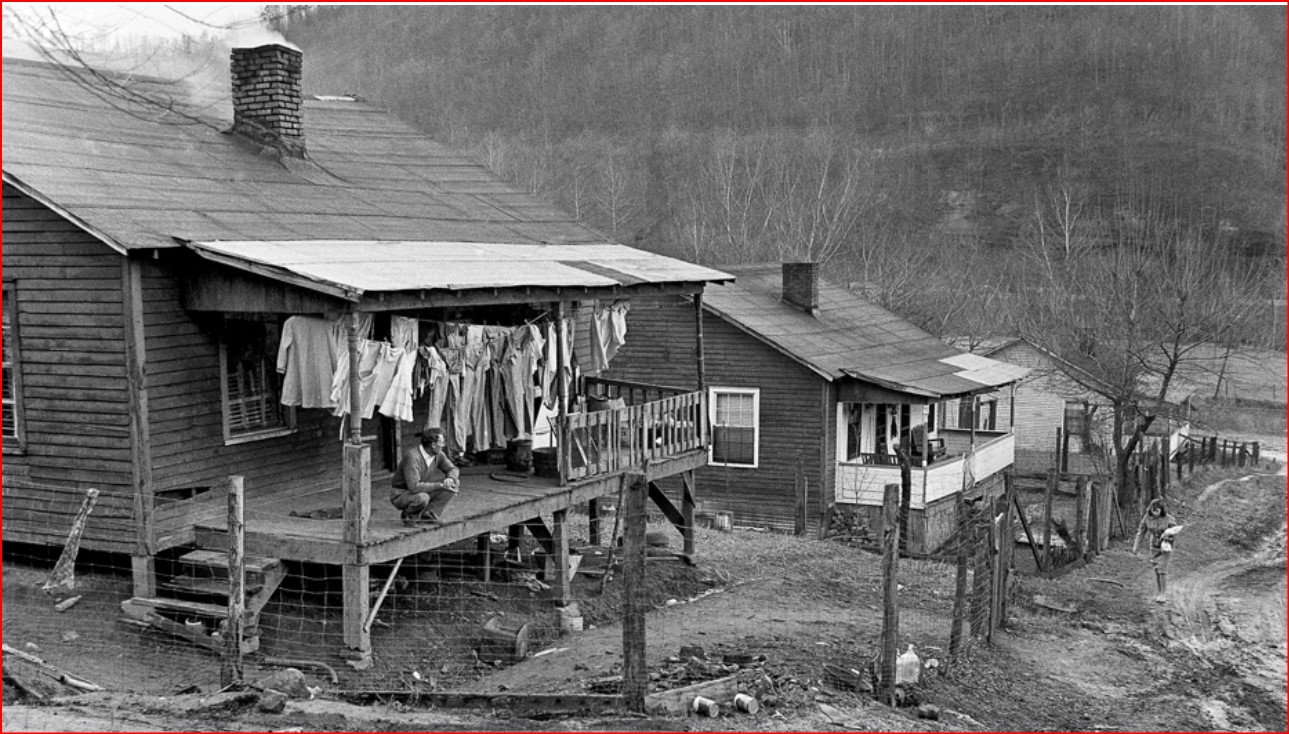
Appalachia is a cultural region with many myths and legends. Stories of clans, moonshine, and feuds abound. People there were often labeled as redneck, ignorant, hillbillies, violent, and racist, Unfortunately, the entertainment industry included cartoons from Disney and Hanna-Barbera perpetuated these myths. Television was involved in such shows as The Beverly Hillbillies, Dukes of Hazard, Hee-Haw, Honey Boo Boo and Duck Dynasty. Comedians often make jokes such as “if Hillbillies get divorced are they still cousins?” Why? To make money. The U.S. government and businesses also collaborated in a conspiracy, hoping to force people off their lands to gain control and income. Even national parks were part of the conspiracy to drive people out of the mountains.
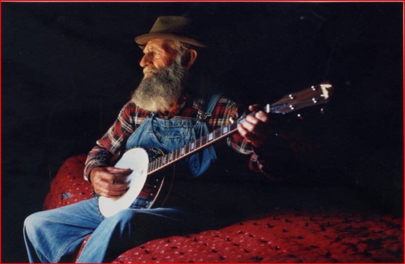
These are false stereotypes. The area has abundant natural resources. Some of the nations best universities are in Appalachia. It has been the home of Country and Western, Bluegrass and Folk Music which have enhanced our nation. Many famous Americans have been born there.
In genealogy, Appalachian isolation has created a problem. When groups are isolated, marriages between cousins create what we call pedigree collapse. This may cause genetic problems. See my article on Family Relationships. There are a number of YouTube videos about Appalachian marriages.
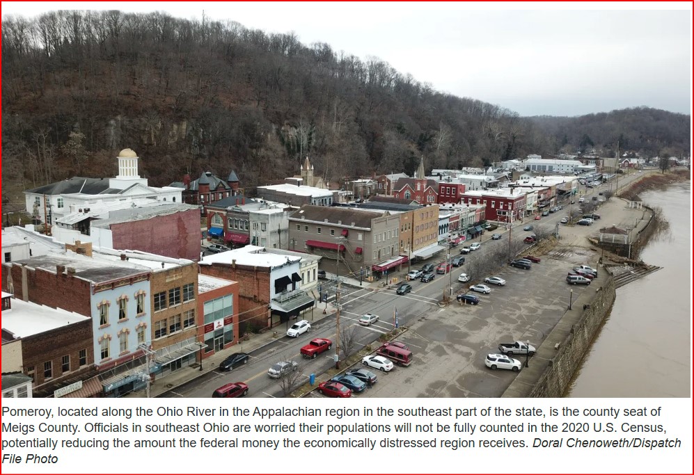
To promote the region, dispel myths and development the economy, the Appalachian Regional Commission (ARC) was formed in 1965. The ARC includes 13 states including Ohio and operates in 32 counties in Ohio.
Transportation
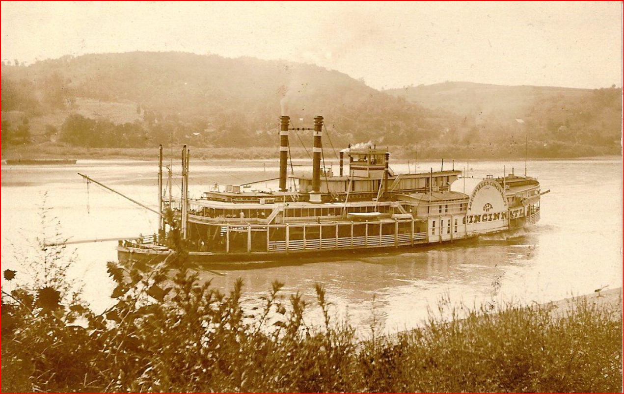
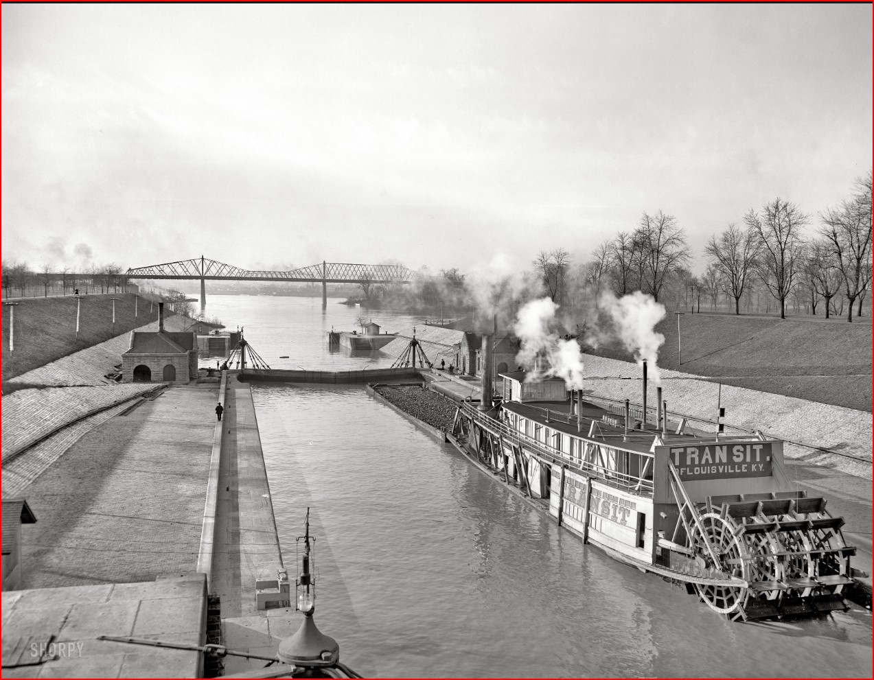
The ability to get from one place to another is vital for exploration, for commerce, for family relationships. This section discusses the ways people have moved in Ohio, both in the past and today. Since one of the easiest ways to travel is by boat, early 1800’s travel to Ohio was mostly:
- By boat on Lake Erie.
- From Lake Erie then down the Chagrin, Cuyahoga or Maumee rivers and their tributaries.
- Travel on the Ohio River to Marietta and then up the Muskingum River.
- Travel on the Ohio River to Portsmouth and then up the Scioto River and its tributary, the Olentangy River.
- Travel on the Ohio River to just east of Cincinnati and up the Little Miami River or just west of Cincinnati up the Great Miami River and its tributaries, the Stillwater and Mad rivers.
Overland travel was possible, across Pennsylvania, following the shoreline of Lake Erie, or by crossing the Ohio River from Virginia or Kentucky and crossing the Ohio, All of the overland routes involved following trails such as the:
- Zane Trace constructed in 1796/7 from Wheeling, Virginia to Maysville, Kentucky (southwest across Northwest Territory of Ohio) 230 miles.
- Shawnee Indian Road ran along the Scioto River and then almost due north to Lake Erie.
- Bullskin Road or Bullskin Trace ran from near the Ohio River in Clermont County to Detroit, Michigan
- Old Xenia Road, ran through Greene and Madison Counties.
- Delaware Indian Road had many branches across Ohio.
- or through many Indian hunting trails.
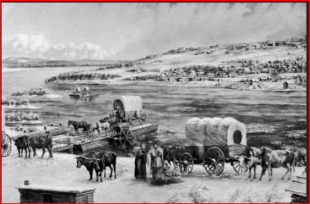
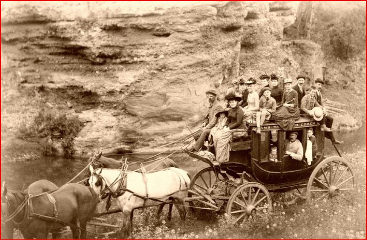
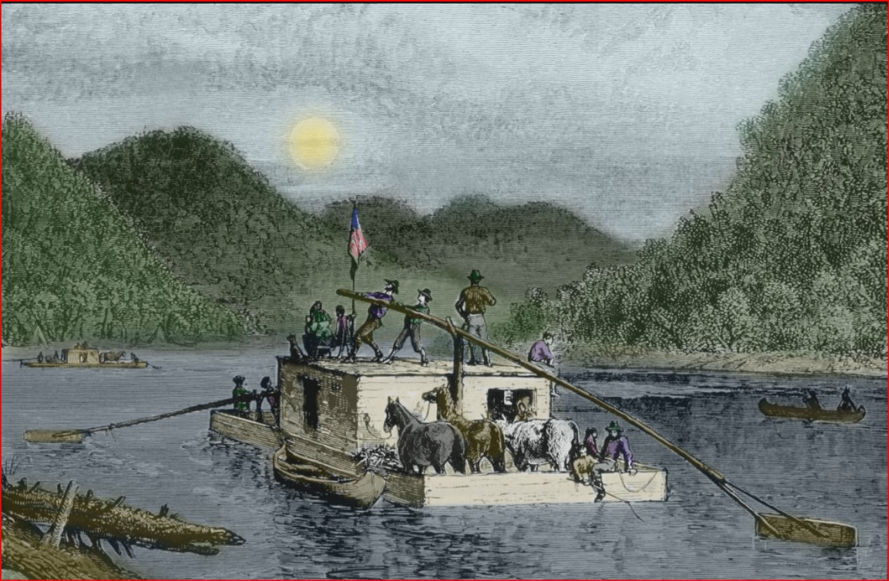
At time of early settlement, travel along the many Indian trails was often by foot. Of course there are no photos since cameras were an invention still to come. We do have paintings from the era, but most photos that show movement along trails are usually in the west, not in Ohio. Those arriving by boat would have been limited by what they could bring. Horses, cows, wagons might have not been possible. Of course, these were often available for purchase at landing points. Those coming overland, fording the Ohio River, often had wagons. The Conestoga wagon has been available since the early 18th century.
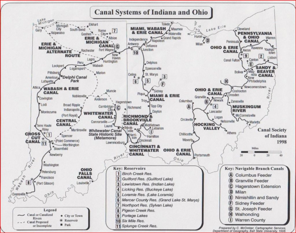
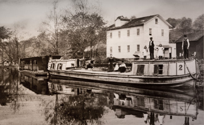
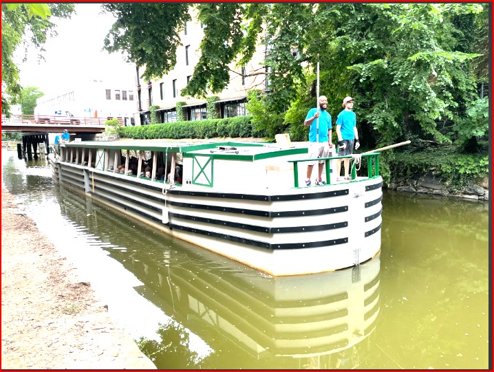
Canals. The need to use the available river water to provide for faster and safer travel caused early Ohio to choose canals. Ohio had no natural lakes, so several shallow lakes were created by hand-shoveling. Grand Lake St. Marys was hand dug between 1837-1845. Indian Lake was dug in 1826-1830. Buckeye Lake was dug in 1851. All were hand-dug to supply water for the Ohio and Erie Canal which was completed in sections from 1833 to 1845. There were other canals that got water from Rivers and Lake Eire. Some were very long like the Miami, Wabash & Erie, the Miami and Erie, the Cincinnati and Whitewater, the Pennsylvania and Ohio, and the Sandy & Beaver. There were many smaller feeder and local canals. The canal era was colorful and served a great role in the settlement of Ohio. The era only lasted about 20 years. Why? The development of the Steam Train allowed travel to any location, was much faster and could carry heavier loads and more people than the canals.
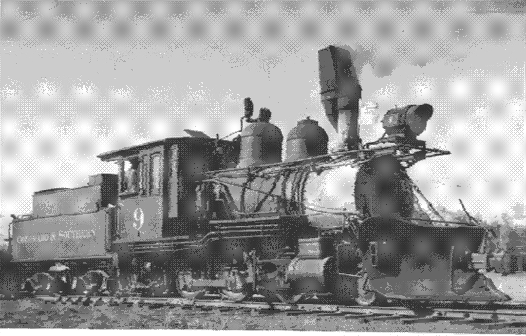
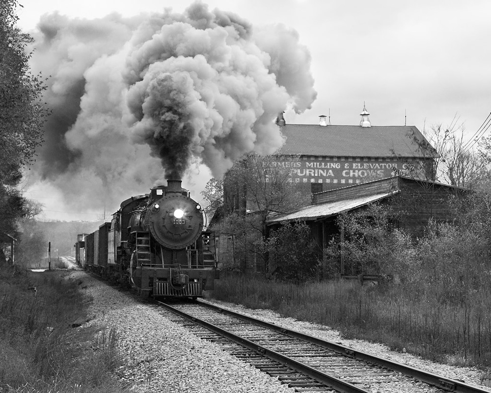
Starting in the 1820’s the idea of railroads became popular. Why? Railroads could run East-West. Most canals only ran North-South. In 1836, Ohio’s first railroad opened, the Erie & Kalamazoo Rail Road between Toledo, Ohio and Arian, Michigan. It was horse drawn at first, but in 1937, a steam loco was added and It could make the 33 miles journey in only 3 hours at a speedy 11 miles per hour! (Source Ohio History Organization) By 1900 there was 8,900 miles of track in Ohio controlled by one of the following: Baltimore and Ohio, Erie Railroad, Pennsylvania Railroad, or New York Central Railroad.
Railroads are still in Ohio, but many historic lines are now defunct. The largest Railroad which is Ohio based is the Wheeling and Lake Erie Railway with 840 miles of Track. Ohio’s bigest line is the freight carrying Norfolk & Southern with 21,000 miles of track across the United States. Ohio has 10 short lines owned by Genesee & Wyoming, with 500 miles of track known collectively as the Ohio Central Railroad System. Ohio has are over 45 other short line railroads, 6 that operated for on site manufacturing, 10 passenger carriers including Amtrak. Of these, 5 are scenic lines.
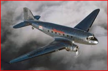
Starting in the 1950’s there was a movement away from railroads to highway travel. By automobile or truck, all towns in Ohio could be reached. A major reason for the loss of Railroads was the Eisenhower interstate highway system. To finance the interstate system, the U.S. government switched the mail system from rail to truck. Ohio has 1,572 miles of interstate highways. (I- 70, 71, 73, 74, 75, 76, 77, 80, 80N, 80S, and 90) plus (I – 270, 271, 275, 277, 280, 290, 380, 470, 471, 475, 480 480N, 490, 670, 675, and 680)
Turnpikes. The Ohio Turnpike, a toll-road, run 241 miles across northern Ohio, It has portions of I-80, I-90, and I-76).
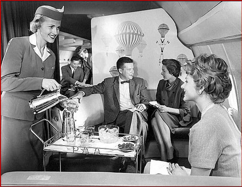
Air Traffic. These are 26 major airports in Ohio. You can fly to many countries non-stop. However like most states, stops in other major cities are to be expected.
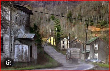
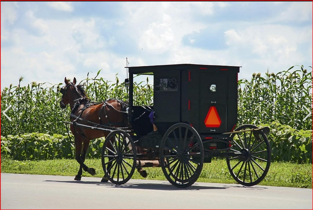
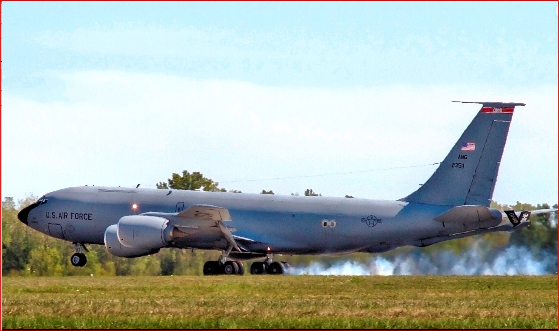
I have included photos and paintings that illustrate various forms of travel. They are not always photos taken in Ohio, but are all that is available.